BoatClaw
Marine Navigation
Boating and aviation share many of the same fundamental needs in planning, navigation, weather awareness, and safety. In both domains, pilots and mariners operate in dynamic, three-dimensional environments where mistakes can have serious consequences. Yet while aviation has benefited from powerful, well-designed tools, most boating apps on the market still feel gimmicky, unreliable, and outdated.
BoatClaw was created to close that gap. It transforms complex, safety-critical information into an intuitive, integrated experience that reduces workload and significantly improves situational awareness on the water.
Safety
Hazard Advisor
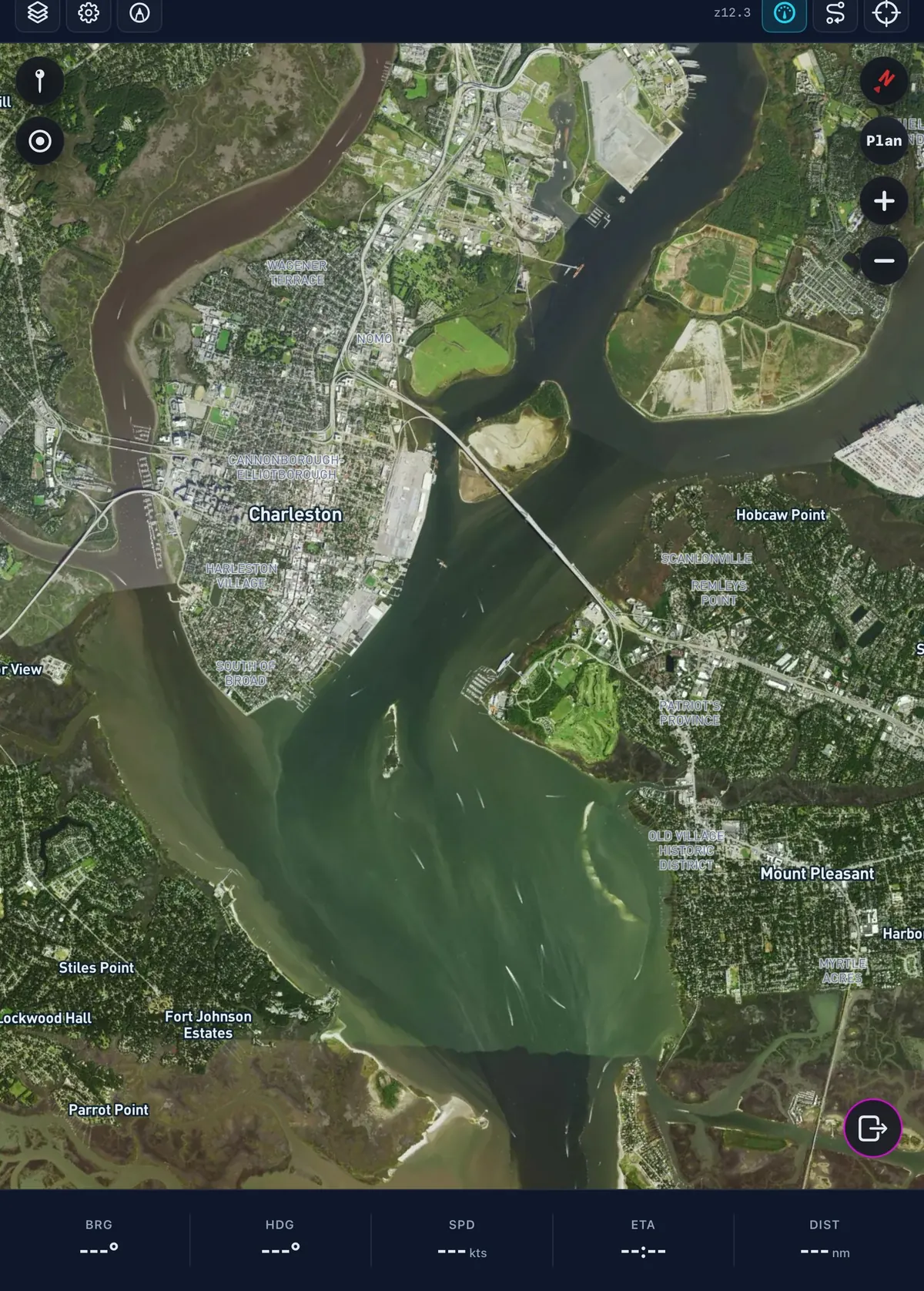
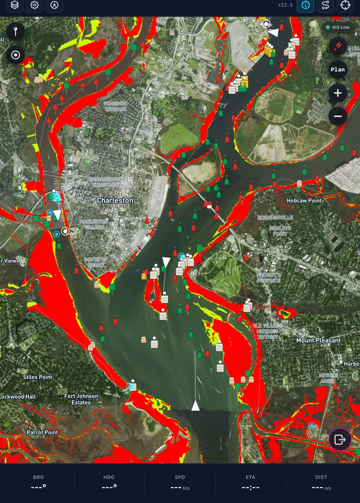
Caution and Warning Depths based on user's draft. Subtle, passive awareness wins.
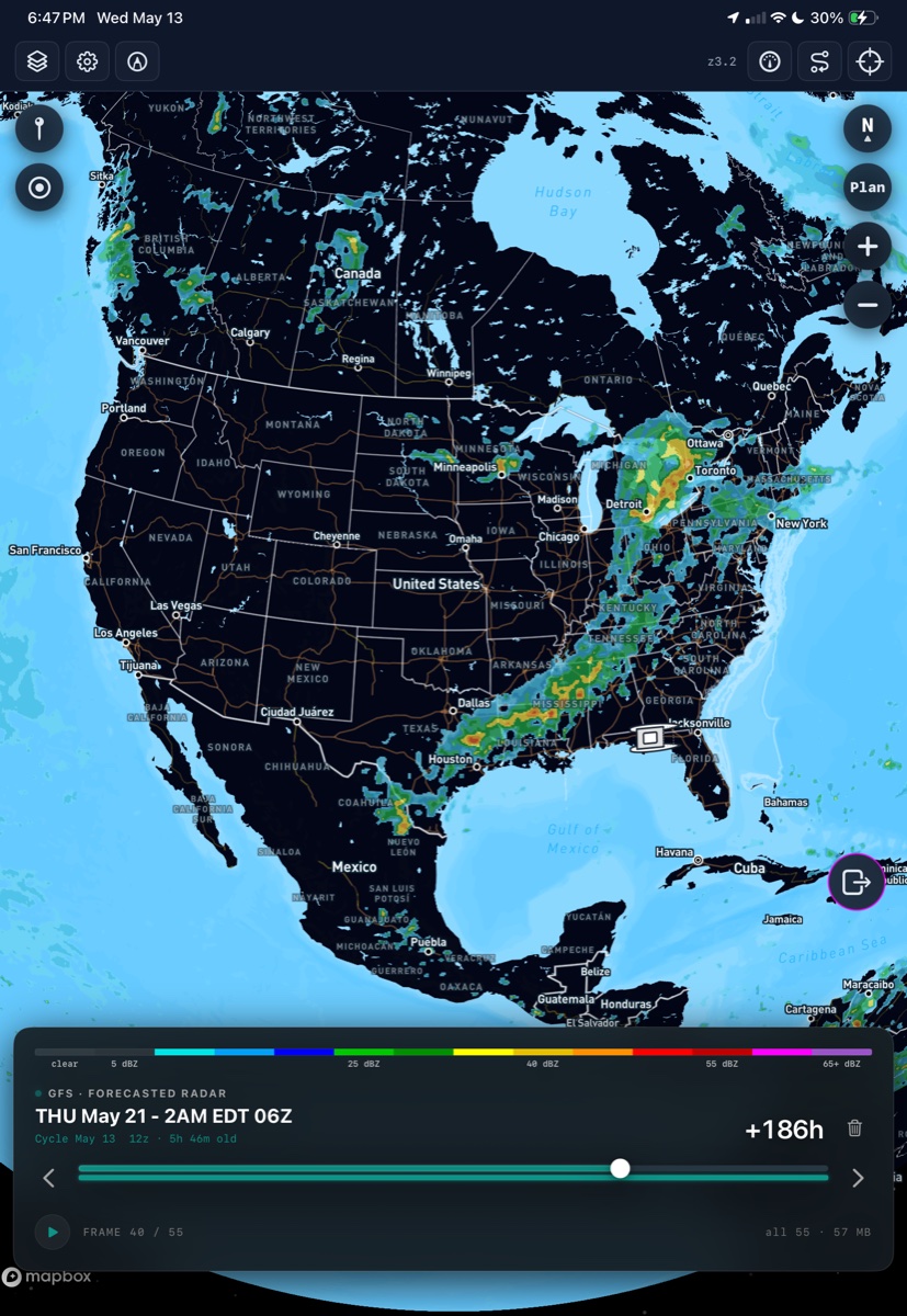
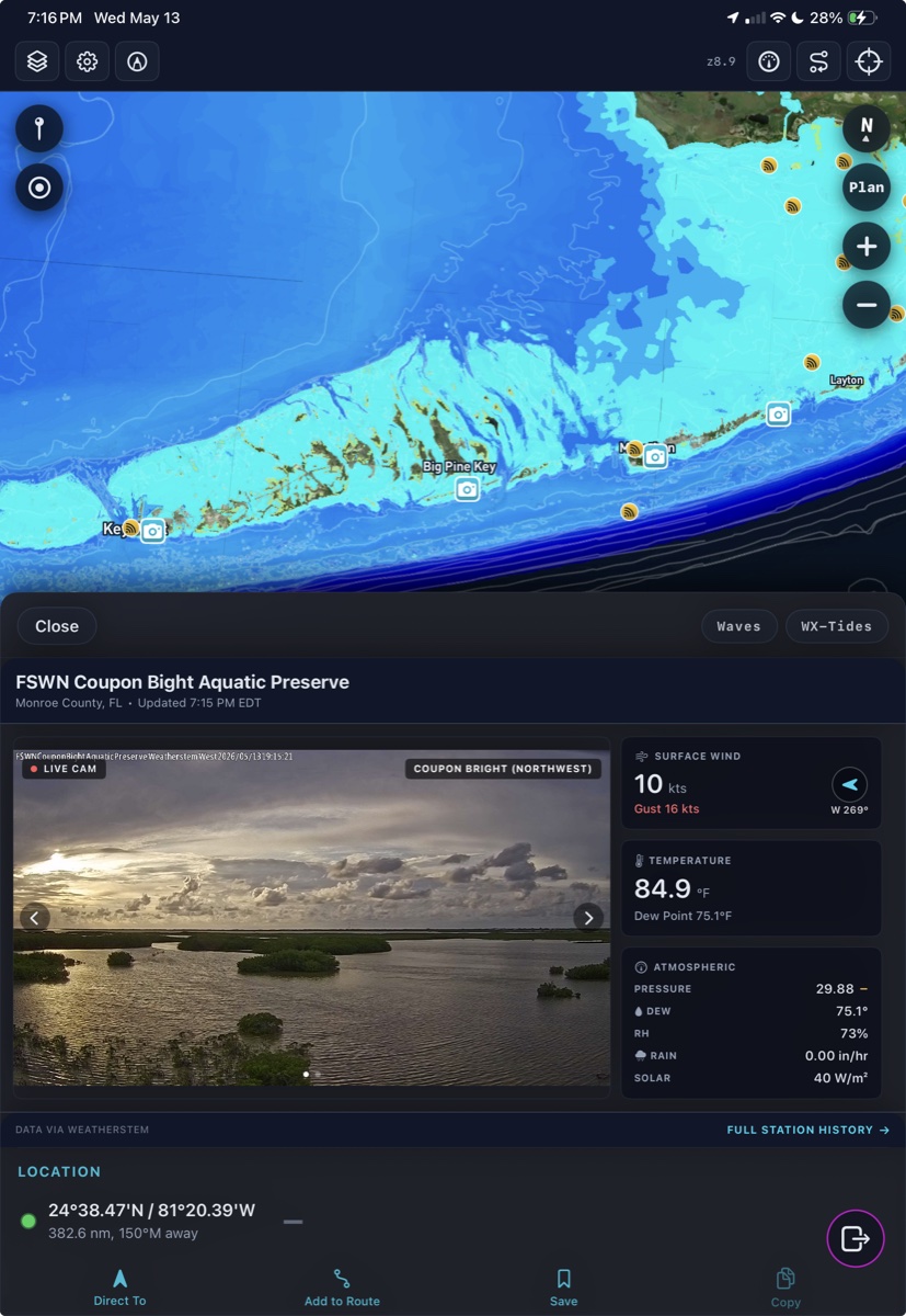
Weather cockpit
Delivering capability that didn't exist in a single app.
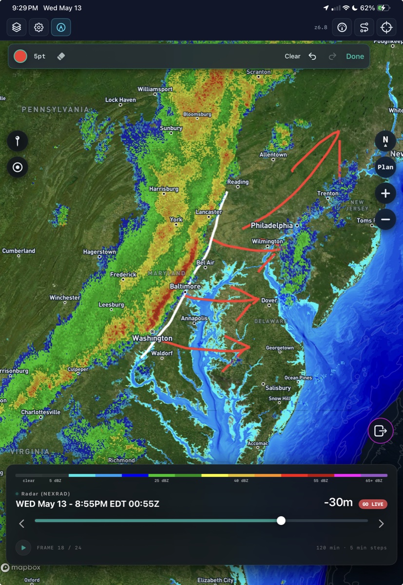
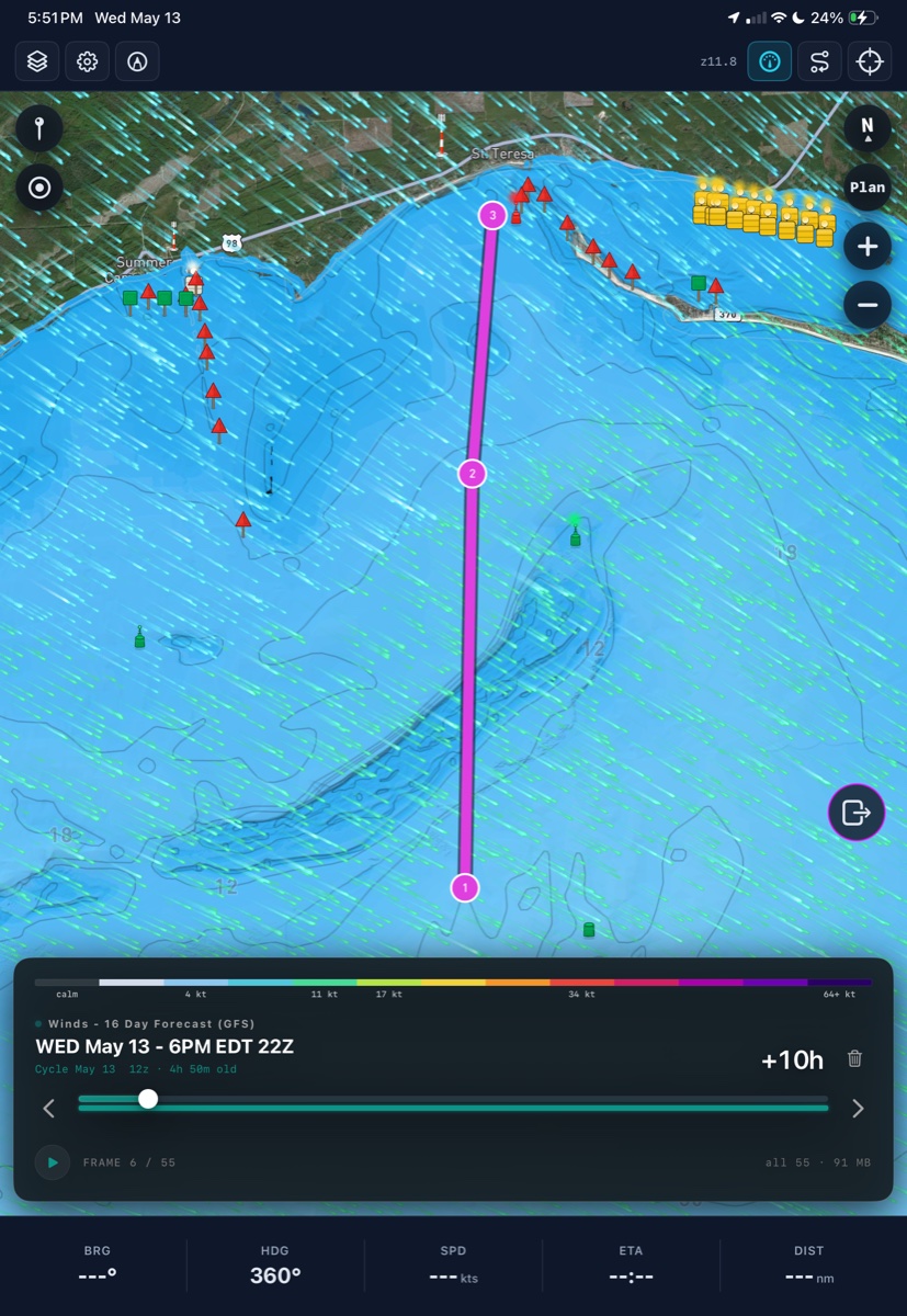
BoatClaw brings radar, forecasted conditions, live stations, waves, wind, and tide context into the same navigation surface.
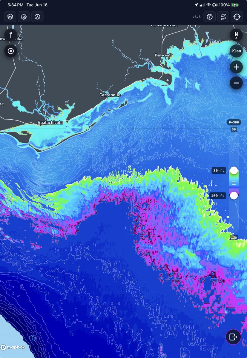
Bathymetry
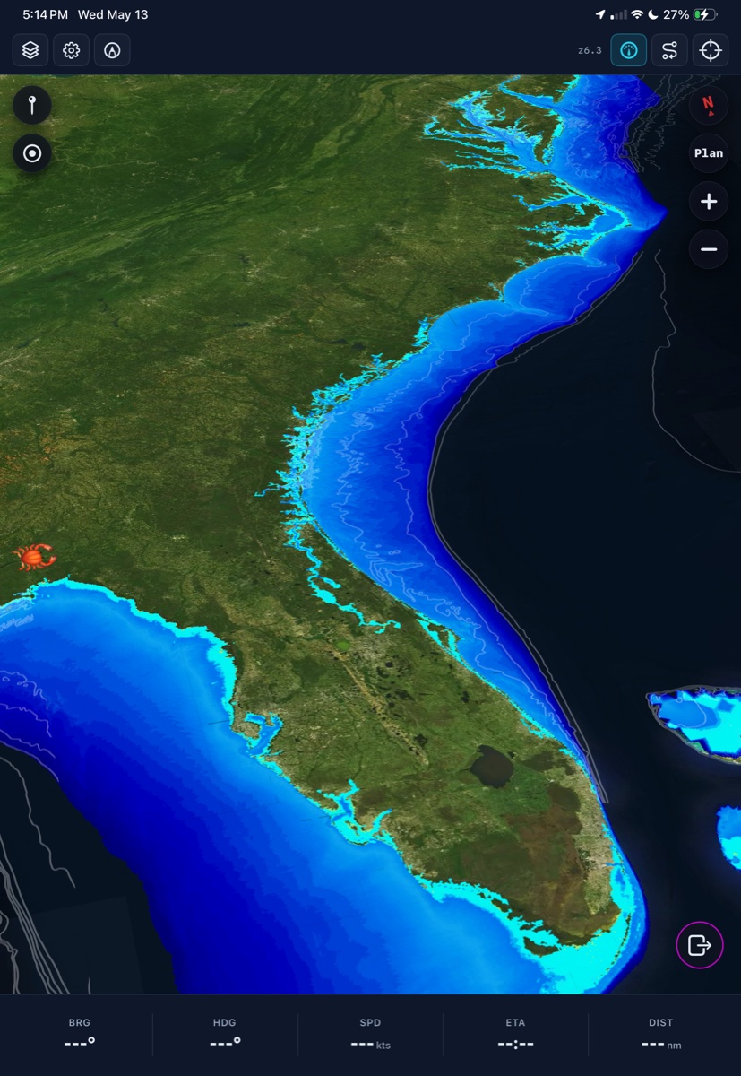
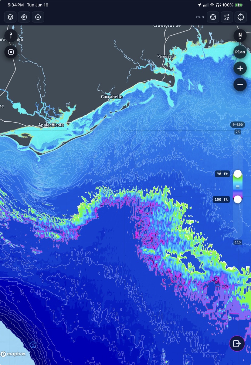
Continuous depth shading instead of flat blue guesswork.
Passive awareness: The underlying goal for developing BoatClaw's cutting edge bathymetric products. Users are able to customize color ramps, dynamically adjust depth bands on the fly, and even overlay their own sounding data.
Routing
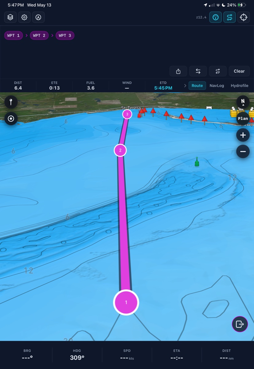
Planning passage has never been this efficient.
BoatClaw fuses bathymetry, weather, radar, waves, wind, tide, and live conditions into a layered view for aviation grade route planning.
A note from Crab Labs.
BoatClaw is heading into beta testing just in time for summer! If you'd like a free download fill out below and you'll be sent the Apple TestFlight link. Enjoy and any feedback is much appreciated!